

Autonomous airborne surveying for mineral exploration
Operating across Australia and Canada
Our services
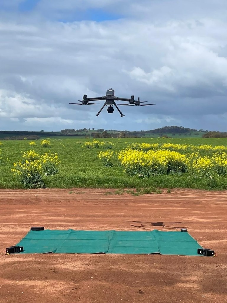
Data Acquisition
Magpie provides extremely low-noise, high resolution magnetic surveying. Our bespoke multicopters are custom built to tow our highly sensitive optically pumped cesium vapour magnetometers. At a flight speed of 15 m/s, we are able to confidently meet production rates of 200-250 linekm/day.
We also offer custom drone solutions for geophysical payloads. We are familiar with the unique challenges faced in geophysical operations, and provide drones that are tailormade for these niche applications.
We can provide adjacent airborne geomatic surveys (lidar, ortho) on request.
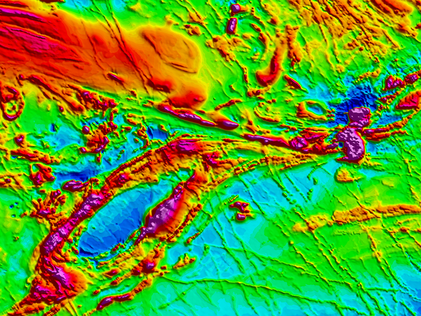
Data Quality
Magpie always strives to offer the highest quality data, taking great care to minimize noise, orientation error, and height discrepancies as much as possible without relying on filtering as a crutch. We recognize that overzealous filtering and microlevelling smooths out genuine and valuable high frequency geologic signals. We compensate for all bird orientation errors – not just heading.
We perform preliminary processing of derivative products, and optionally offer further processing services, including geological interpretation and inversion modelling on request. Please consult with us in advance to determine which data products best suit your operation.
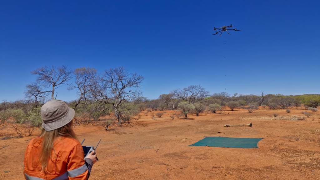
Safety First
Magpie is accustomed to the unique challenges posed by working in remote and extreme environments – from the Australian outback to the Canadian Arctic. We take operational safety and compliance with aviation regulations extremely seriously. Our pilots are all certified with RePL, A-ROC, and first aid training, along with specific UAV type ratings as necessary. All of our data products undergo QA/QC by a certified P.Geo.

